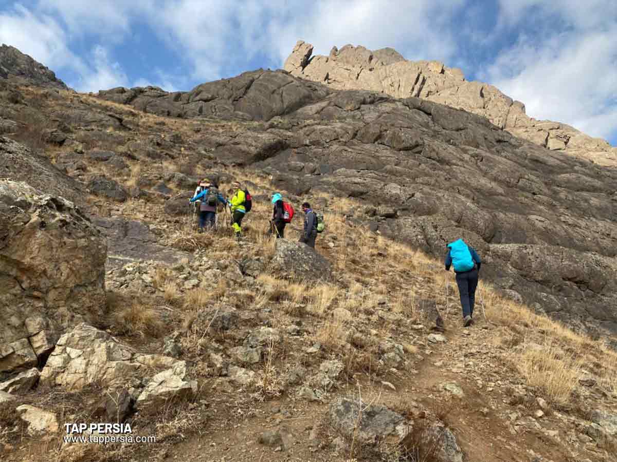
Tehran Province is one of Iran’s mountainous regions when compared to other provinces. The province of Tehran is entirely mountainous in the north, semi-mountainous in the east and west, and dry and arid in the south. The ideal place to climb, hike, and escape the hustle and bustle of the city is in the mountains in and surrounding Tehran. You will learn about Tehran’s mountains and the ascent routes to their peaks on this page.
Top Tehran Mountains to Visit
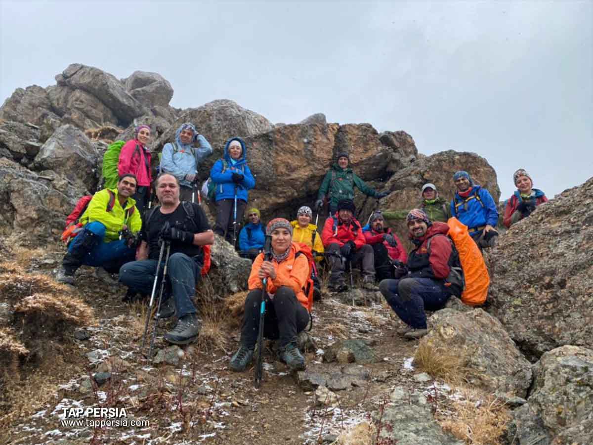
Many Iranians are interested in mountaineering, a demanding and grueling sport. Finding new climbing routes to add variation is one of the climbers’ top priorities. These guys constantly seek out new peaks in order to climb them because they have a strong drive to set challenging and novel challenges for themselves. Tehran also offers intriguing mountains that both amateurs and experts may climb. To learn more about their itineraries, these are the top 14 Tehran Mountains:
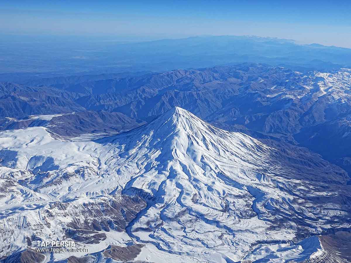
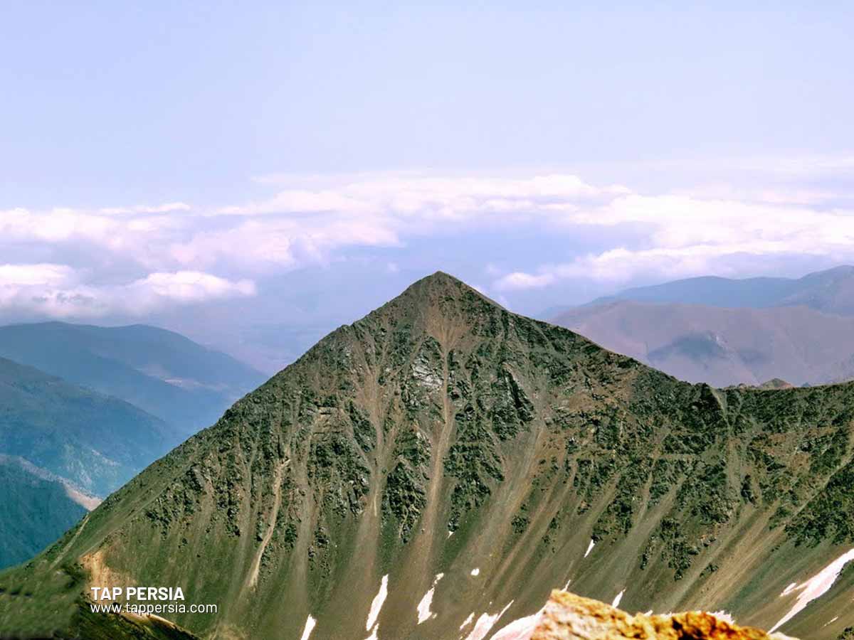
1.Tochal Peak
With a height of 3959 meters, Tochal Peak is the tallest mountain in the Tochal range and in Tehran. Sarband Square serves as the primary entrance to the mountain’s summit. There are a few additional climbing routes, though, that are often longer than this one. Here are a few of these routes
- Kolak Chal – Tochal route
- The route of a cable car station to Haft station and Tochal peak
- Darabad – Tochal
- Chin Kalagh – Tochal
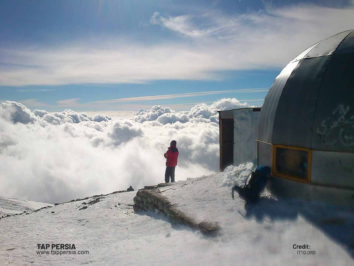
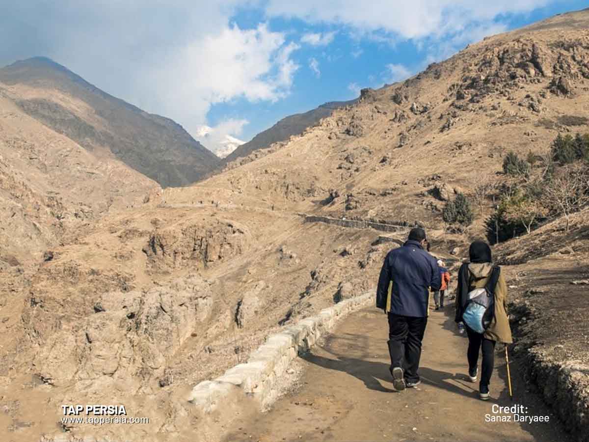
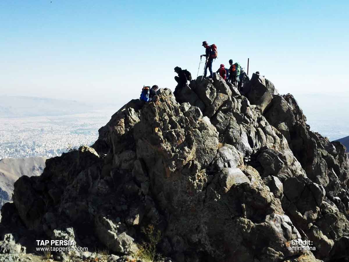
There are often 10 to 12 ways to ascend this summit. The typical climbing route goes from Sarband Square in the Darband neighborhood and is then set up on the ridge to the left after arriving at Shirpala Shelter and Qadri Traverse. There are two Shervin shelters on the summit, two Shervin shelters on this route, and an elevation of 3450 meters.
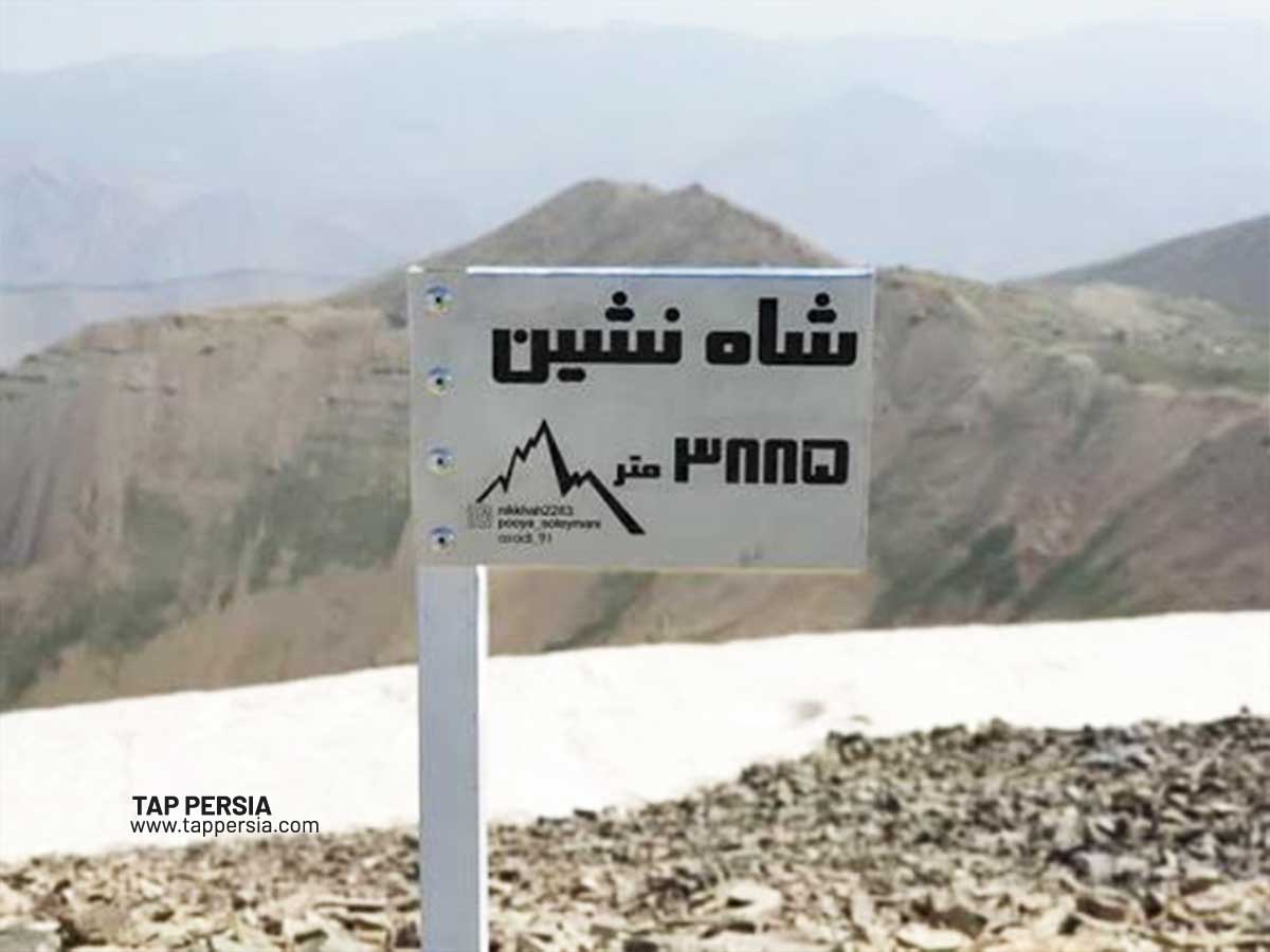
2.Mount Shah Neshin

To the west of Mount Tochal lies one of the Tehran mountains located in the North, known as Mount Shah Neshin. “Shah Neshin” refers to a king’s seat or camp. This name derives from the fact that between 100 and 150 years ago while traveling from Tehran to the town of Shahrestanak, King Nasereddin-shah of the Qajar dynasty stayed on the northern slope of this mountain not far from where the Tochal Hotel is now.
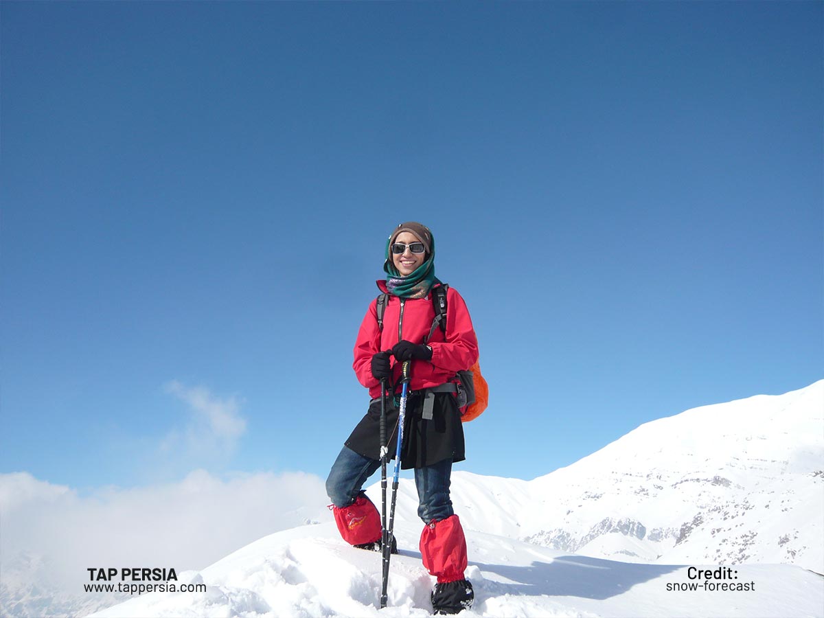
The Tochal ski resort, which offers skiing for roughly 8 months of the year, is located on the eastern side of this mountain’s northern slopes. The resort will remain open through June 21st, the start of summer. The resort’s peak is 3850 meters high, with a base height of 3545 meters.
In northern Tehran, near the end of Velenjak Avenue, take the Tochal Tele-cabin (Gondola) to the 7th station (3730 meters), which is the quickest method to reach this peak. Then, take a 30- to 45-minute walk to the west.
The village of Darakeh is another option, from which you may travel to the Palang Chal refuge. You may now choose between taking the path to Palang Chal Mountain or Mount Shah Neshin, or you can pass the shelter and trek for 30 minutes to the north before climbing to the east into Tochal Fifth Station and continuing from there.
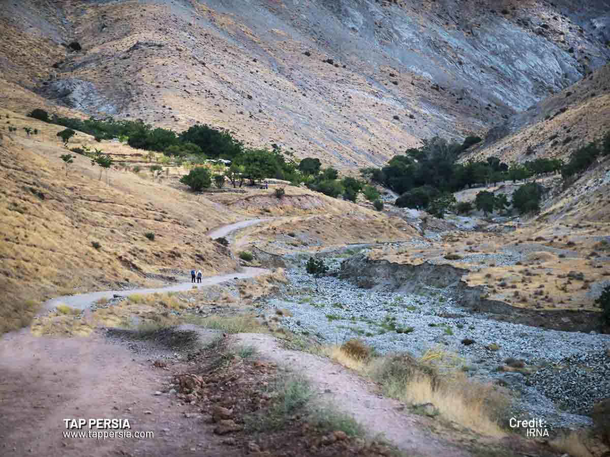
The springs on the lower slopes of Mount Shah Neshin, which serve as the primary sources of the Darakeh water stream, and the Kara waterfall are just a couple of the pleasant locations you may stop at if you choose to go through Darakeh.
3.Sar-Bazarak
One of the peaks in Tehran is Sarbazarak Peak, which rises to a height of 3840 meters and is situated along the ridge on the east side of Shahneshin Peak. Shah Neshin Mountain is one of the best Tehran mountains and may be climbed in addition to it. The Ashtar-gardan pass is another route up this summit. The Darakeh and Panlangchal shelters are one route to the Ashtar-gardan pass, although there are other options as well.
4.Darabad
The mountain may be reached from the Darabad area, which is home to another top of the Tehran mountains called Darabad peak. This Darabad Mountain is between 3150 and 3200 meters tall. The distance to this summit is around 12 km round trip. You must begin your ascent of Darabad Peak from the parking lot close to the river.
Beginning with a bridge crossing, the trail makes a few curves before arriving at the bottom section adjacent to the coffee shop. It swings to the right and continues to ascend up the ridge after a few hundred meters. From here, you will ascend 300 to 400 meters before crossing a gravel road. Then there is a little, outdated barracks. You will reach the ridge after passing the barracks and ascending a further incline. You will reach the little shelter of Darabad Peak after trekking a number of slopes.
5.Siah Band
Siah Band is another amazing Tehran mountains. After going through a blade section behind Darabad Mountain, proceed for almost two km till you reach Siah Band peak, which rises to a height of 3,320 meters. In the winter, reaching the summit involves carefully navigating the blade segments. From the communities of Haji Abad and Oshan, there is an additional route to this summit.
6.Lezon (Piaz-Chal)
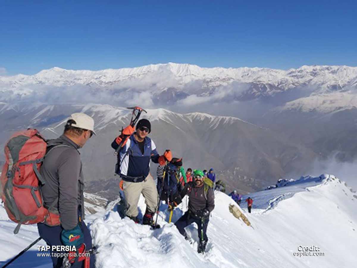
On the main ridge of Tochal, between Darabad and Tochal summits, lies Lezon Peak, which rises to a height of around 3500 meters, encompassing western and eastern Lezon. The best route to go to this peak is through Spillet Pass, Kolak Chal Camp, and a backtracking route from Kolak Chal Peak to the Piaz-Chal Pass. This path will eventually arrive at Lezon Peak along a somewhat steep slope after passing through Piaz-Chal Pass. Due to the risk of avalanches, a traverse beyond Kolak Chal Peak is not practicable during the winter.
7.Kolak Chal
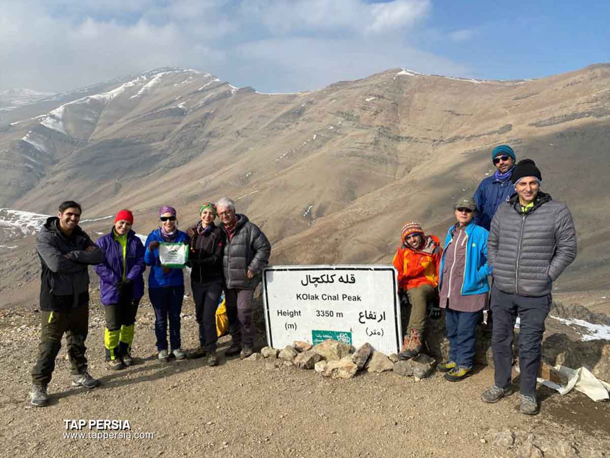
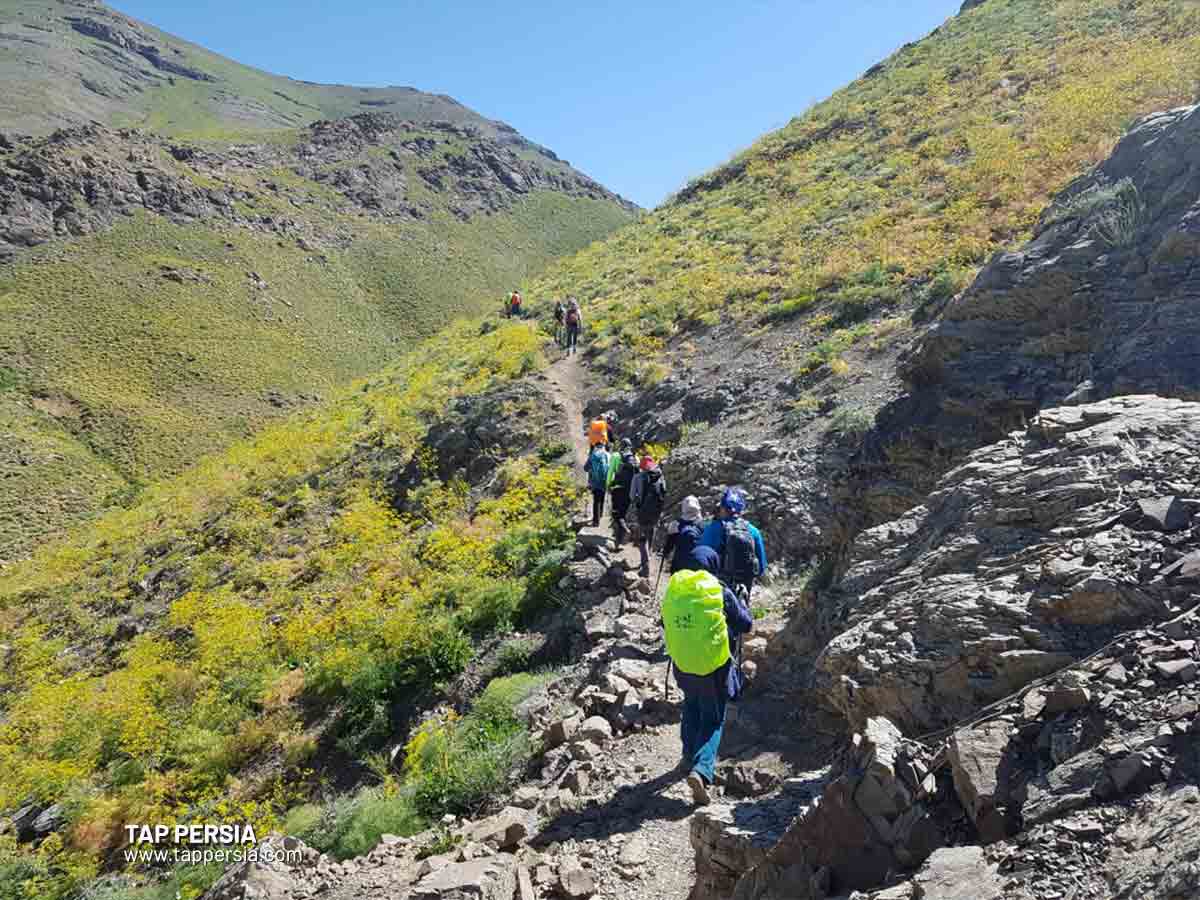
One of the Tehran mountains that can be reached easily is Kolak Chal Peak. The route up this mountain begins in Jamshidiyeh Park and ascends in a straight line to the camp at the fourth station of Kolak Chal. Following the camp, the trail continues to the left and west, passing beneath Kolak Chal Peak’s slope, before coming to the 3000-meter Spillet pass. You’ll ride the ridge here. This ridge has a rough beginning and a high climb after that. As you continue up the slope, Kolak Chal’s peak will come into view. This mountain reaches a height of around 3350 meters.
8.Spillet
The 3100-meter Tehran mountain is located above the Band-e-Yakhchal wall, also known as the “Wall of Shervin,” in the northern part of the Band-e-Yakhchal area. The Kolak Chal path, which begins from Jamshidiyeh Park and continues towards Spillet Pass (Kolak Chal Pass) once at the shelter, is the most popular way to reach the top of Spillet.
It stands out as a stone mound on the south side of the Spillet Pass as you approach Kolak Chal Pass. There are further ways to Spillet that involve more difficult rock climbing or rope climbing, such as Spilet Pass and Wall of Shervin.
9.Kamachal
Bam-e Tehran, a second Tehran mountain that rises to a height of 3050 meters, may be ascended through the Velenjak path. From here, there are two methods to ascend to this summit. Starting from the peak’s ridge, a route leads to the Velenjak parking lot and the area close to the bus stop. The cable car’s dirt path serves as the alternate route.
Get off the road near the summit and ascend the mountain on this path after passing cable car station number two and continuing to station five. Kamachal is among Tehran mountains that are more manageable.
10.Chin Kalagh
At a height of 2,820 meters, Chin Kalagh is situated to the west of Darakeh, Plang Chal, and to the north of the Farahzad and Saadat Abad areas. This road begins at Saadat Abad, which is located above this region on the “west side” of Bam-e Tehran. There is a guard here; go into the valley on the left and follow Chin Kalagh’s trail. The path’s first 500 meters are a dirt road heading north from the left side of the valley; the remaining distance is paved. You will arrive at the main spring along this walk, where groups frequently pause for breakfast or recuperation.
There are two routes that lead to the top starting in the spring: one over the ridge and one across the valley. The ridge trail turns to the right after the spring and enters Pakub on the ridge. After negotiating the valley, the trail eventually climbs to the top with a reasonably steep incline.
11.Palang Chal
In the region of Darakeh, there is still another mountain in Tehran. This mountain is around 3550 meters tall, and the distance to get there is about 12 km. The Palang Chal shelter, located at a height of 2,550 meters, as well as the confluence of two rivers (Doab), is often used as the summer route to the summit. This trail shouldn’t be utilized during the winter months due to the possibility of avalanches.
12.Do Shakh
This mountain may be found in the Darakeh(Tehran nature) area at a height of 3040 meters. Do Shakh may be reached by ascending Chin Kalagh Peak, Farahzad Road, and Darakeh-Kara Square. The Darakeh-Kara road is the most popular way to reach Do Shakh.
The route turns to the left and leads towards the Kara Waterfall after beginning in Darakeh Square and traveling to Kara Road. After using this trail, you may go to the pass that separates Chin Kalagh from Do Shakh, where you can turn right and continue your ascent through the summit’s rocks to Do Shakh Peak.
13.Bande Eysh
It is another mountain in Tehran with a height of 2,770 meters, and it is situated north of the Kan, Shahran, and Hesarak-kan areas, northwest of Tehran City. The southern path from Chenaran Valley and Hesarak are the two entrance points to Bande Eysh. The west path begins in Sulqan and continues through a steep valley before reaching the top.
The valley leading to Rendan and Imamzadeh Davoud Road are the starting points for the northern route. A tidy road connects Imamzadeh Davoud’s west side to the top via the eastern and northeastern routes. The major route to the summit is the southern trail, known as Hesarak. This road includes two branches that eventually come together after a short distance.
14.Aragh Chin Peak
Aragh Chin Peak, one of Tehran’s summits in the Darabad area, rises to a height of roughly 2800 meters. The Dar Abad Valley and Niloufar Kashanak Park are the primary routes to this summit. About 5 kilometers must be climbed to reach this mountain. You must ascend by around 1000 meters in order to reach Aragh Chin.
The Tehran Peaks’ Level of Difficulty
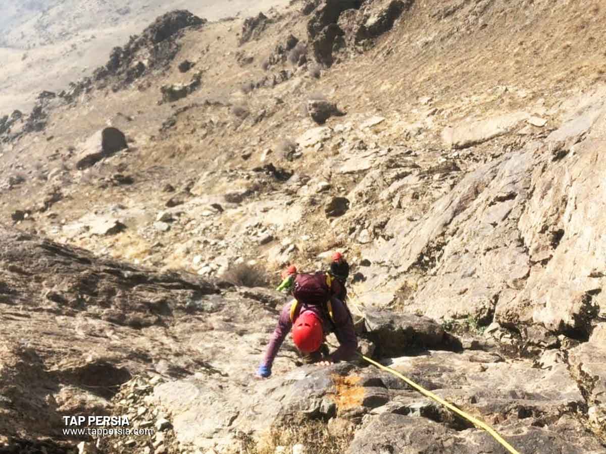
There are many degrees of difficulty among the peaks around Tehran. For instance, the Darabad-Tochal ridge, which is exceedingly difficult, especially in the winter, or the Bande-Yakhchal wall, where you may go rock climbing.
However, if you want to go trekking, you can utilize the designated hiking trails to the Kolak Chal or Palang Chal shelters. There are no touchstones on these routes, which are solely for walking.
Which are the Best Mountains in Tehran for Walking?
The most well-liked hiking paths in Tehran’s mountains are the Bam-e Tehran route in Velenjak to cable car station number 2/Darakeh route to Palang Chal and Jamshidiyeh Park route to Kolak Chal camp.